SAPOS® HEPS
High-precision real-time positioning service

SAPOS® GPPS
Geodetic post-processing positioning service

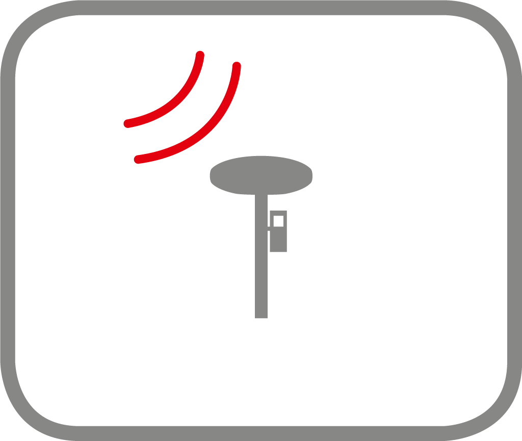
SAPOS® reference stations
Raw data from reference stations in RTCM format
High-precision real-time positioning service
Geodetic post-processing positioning service
Raw data from reference stations in RTCM format